

Key points
- UC researchers are developing digital twins to improve flood risk assessment and climate adaptation planning.
- Digital twins help governments and communities model flood scenarios, evaluate mitigation options, and make evidence-based decisions.
- Research shows that considering water velocity in flood modelling (in addition to water depth) can improve evacuation planning and help protect people and infrastructure during extreme weather events.
Improving flood resilience through digital twins
As climate change increases the frequency and severity of extreme rainfall events, communities need better tools to understand flood risks and prepare for future hazards.
Researchers at the University of Canterbury’s (UC) Geospatial Research Institute, led by Professor Matthew Wilson, are developing digital twins for more accurate and efficient flood risk assessment. These computer simulations combine geospatial data, artificial intelligence mapping techniques, and cloud computing to model floods, visualise their impacts, and provide decisionmakers with better information for planning and emergency response.
The models can predict the effects of extreme rainfall events while considering factors such as climate change and urban growth. In addition to helping communities understand current flood hazards, the technology can be used to examine less frequent but potentially more severe flooding events, and to explore how future development may change flood risk over time.
A successful prototype has already been developed in Aotearoa New Zealand, and the research team is now working to deploy the system on a cloud-computing platform to enable more efficient flood risk assessments across the country.
Supporting better flood mitigation decisions
The digital twin is being extended to evaluate a range of flood mitigation strategies. These include nature-based solutions such as wetland restoration and native forest planting, as well as traditional engineering approaches.
By modelling and comparing different scenarios, the platform can help decisionmakers better understand the costs, benefits, and effectiveness of alternative approaches to flood management. In addition to reducing flood risk, nature-based solutions can generate broader environmental benefits that the model can quantify and assess.
The long-term goal is to develop accessible and scalable tools that help communities visualise flood risk, test mitigation options, and make more informed decisions about resilience and adaptation in a changing climate.
Flood water speed for better preparedness
Complementing this work, UC researchers Professor Tom Cochrane and Associate Professor Markus Pahlow of the Department of Civil and Environmental Engineering are focused on urban flooding and stormwater drainage networks. Their research forms part of a major European Union-funded project investigating how cities can better prepare for and respond to flood events.
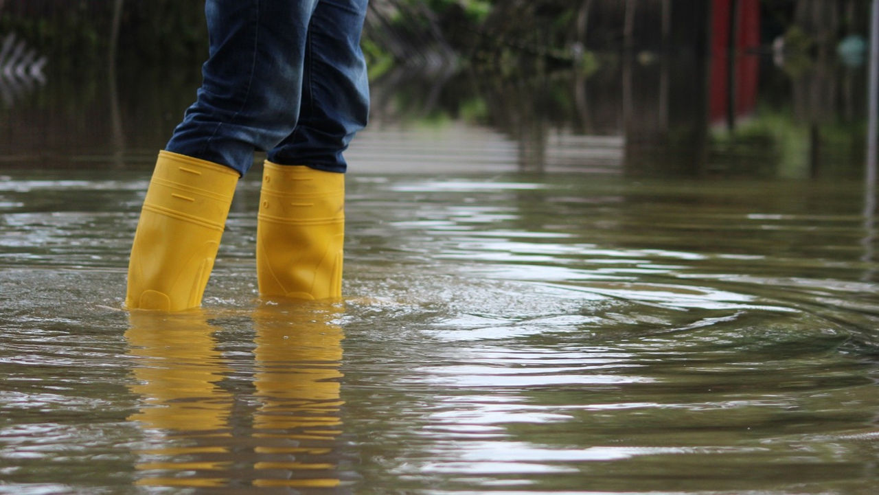
Their work highlights a gap in flood risk modelling by demonstrating that water velocity can be just as important as water depth when assessing risk. The team's findings suggest that models based solely on water depth can underestimate the hazards faced by both pedestrians and vehicles during severe flooding.
Fast-moving floodwaters can create dangerous conditions even when water depths appear relatively modest. By incorporating both depth and velocity into rapid flood modelling with climate forecasting, researchers can provide a more realistic understanding of flood hazards, help identify safer evacuation routes, improve stormwater management, and strengthen emergency response planning.
This research is helping cities develop more effective approaches to flood resilience, supporting infrastructure planning, and reducing the impacts of future extreme weather events.
Supporting climate resilience and evidence-based decision making
Together, these projects demonstrate how advances in artificial intelligence, engineering, and geospatial science can enhance community resilience to flooding.
Improved flood simulations are helping decisionmakers better understand how floodwaters may affect people, infrastructure, and transport networks during extreme weather events. These tools enable governments, planners, and communities to evaluate future risks, assess mitigation options, and make better decisions.
As governments and communities adapt to a changing climate, these technologies provide stronger evidence for enhancing land-use planning, nature-based solutions, infrastructure investment, and emergency preparedness to build long-term resilience.
By combining technological innovation with practical applications for flood management, UC researchers are helping create safer communities and more informed responses to one of the most significant climate challenges facing Aotearoa New Zealand and the world.
Talk to Professor Matthew Wilson about digital twins, geospatial science, artificial intelligence mapping techniques, and flood risk assessment, or talk to Professor Tom Cochrane or Associate Professor Markus Pahlow about urban flooding and stormwater drainage networks. You can also contact Research Connect to explore opportunities to collaborate with UC researchers on flood risk assessment, climate adaptation, and community resilience.
Last updated: September 2026
Related Topics
Sustainable Development Goals (SDGs)

Contact
-
Matthew Wilson
05 October 2026

-
Matthew Wilson
-

Matthew Wilson
Professor
-
Matthew Wilson
-
Tom Cochrane
05 October 2026
-
Tom Cochrane
-
Tom Cochrane
Professor
-
Tom Cochrane
-
Markus Pahlow
05 October 2026
-
Markus Pahlow
-
Markus Pahlow
Associate Professor
Co-Director of Studies (Year 4), Director of Studies - Water Engineering
-
Markus Pahlow
We gratefully acknowledge funding from MBIE and the European Union. Views and opinions expressed are however those of the author(s) only and do not necessarily reflect those of the European Union or the European Climate, Infrastructure and Environment Executive Agency (CINEA). Neither the European Union nor the granting authority can be held responsible for them. This work has received funding from the European Union's Horizon Europe research and innovation programme under Grant Agreement No. 101147385 (Minority Report).
Read other showcases
Take a look at our showcases to see UC’s research expertise in practice.