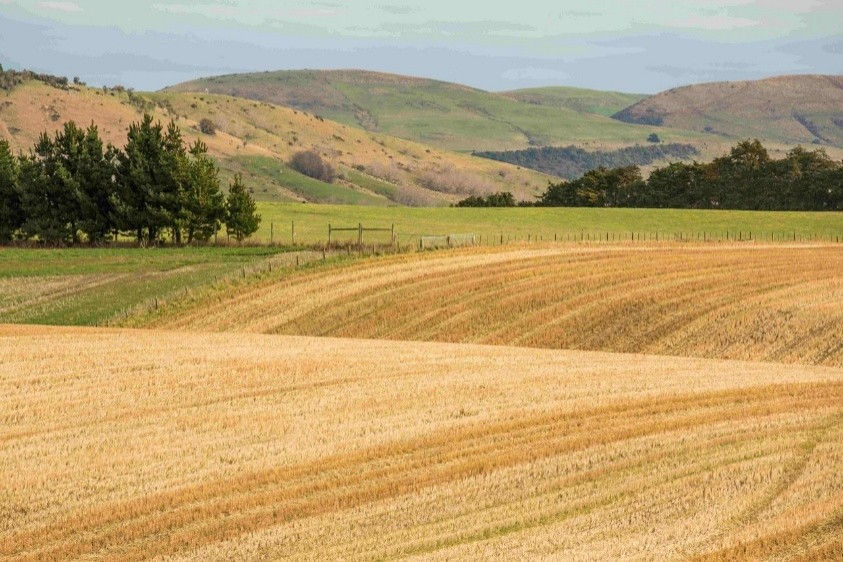


Photo caption: Agricultural land.
Key points
- UC researchers are building a soil moisture monitoring platform which combines ground sensors, satellite signals, AI, and modelling.
- The system reads satellite signals reflected off the ground, so soil moisture can be mapped across a whole farm rather than at a few sensor points.
- Soil moisture data will be publicly accessible for farmers, researchers, and decision-makers.
Turning satellite signals into soil moisture maps
Water is one of agriculture's most precious resources, yet accurately measuring soil moisture across entire farms remains a significant challenge. Most farmers rely on information from a limited number of ground sensors, leaving them to make irrigation decisions based on incomplete data.
Professor Matthew Wilson, Director of the Geospatial Research Institute at the University of Canterbury (UC), is part of a collaborative project involving the University of Newcastle, Monash University, and the Soil Collaborative Research Centre. Together, they are developing the Australia New Zealand (ANZ) Soil Moisture Data Assimilation System, which combines ground sensors, satellite observations, and modelling to generate field-scale soil moisture estimates several times each day.
A key innovation is the use of Global Navigation Satellite System (GNSS) signals reflected from the Earth's surface. The characteristics of these reflected signals change depending on the amount of water in the soil. By applying artificial intelligence and advanced geospatial modelling, researchers can transform those signals into detailed soil moisture maps covering entire farms.
Better data for irrigation decisions
More accurate soil moisture information can help farmers make better decisions about when and where to irrigate. The technology has applications across dairy, grazing, and arable farming systems, supporting both pasture management and crop production.
By improving irrigation timing, the system has the potential to reduce water use, lower environmental impacts and help farms remain productive during periods of drought and water scarcity. The researchers aim to make the soil moisture data publicly accessible, enabling broad adoption across the agricultural sector.
Supporting smarter water management
As climate variability and water-management pressures increase, access to reliable, timely information is becoming increasingly important. UC researchers are developing practical tools that support sustainable agriculture and more efficient water use.
Right now, farmers are often making decisions based on limited or incomplete data. By combining satellite observations, artificial intelligence, and ground-based measurements, we can provide a much clearer picture of soil moisture conditions and help support better water management decisions.– Professor Matthew Wilson
The team is currently deploying and testing hardware for partner farms in Aotearoa New Zealand and Australia. Artificial intelligence algorithms are being developed to estimate field-scale soil moisture from reflected GNSS signals, integrating information on topography, soil characteristics, weather conditions, and satellite observations.
Once operational, the ANZ Soil Moisture Data Assimilation System will build on the team's open-source Environmental Digital Data Intelligence Engine digital twin framework. By combining real-time observations with environmental models and other data sources, the platform will provide actionable insights for irrigation management and farm decision-making.
The resulting information has the potential to improve irrigation efficiency, reduce water use, minimise nutrient leaching and runoff, and support more resilient farming systems in the face of increasing climate variability.
Talk to Professor Matthew Wilson about soil moisture monitoring and geospatial modelling, or contact Research Connect to explore working with UC on agricultural technology and water management.
Last updated: September 2026
Related Topics
Sustainable Development Goals (SDGs)


Contact


We gratefully acknowledge funding from Ministry of Building, Innovation and Employment and SmartSAT.
Read other showcases
Take a look at our showcases to see UC’s research expertise in practice.