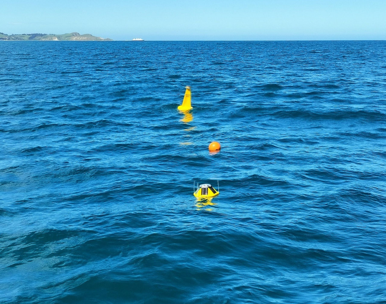


Photo caption: A wave buoy from the South Island Waves monitoring network.
Key points
- South Island Waves is Aotearoa New Zealand's largest open-access wave buoy network, spanning much of Te Waipounamu South Island’s coastline.
- Real-time marine data is being used by councils, government agencies, emergency managers, researchers, and the public.
- Wave data provides critical evidence for forecasting, infrastructure planning, hazard management, and climate adaptation, ultimately leading to improved resilience.
Open-access marine monitoring across Te Waipounamu South Island
Established through a partnership between the University of Canterbury (UC) and Environment Canterbury, the South Island Waves network has expanded to become Aotearoa New Zealand's largest open-access wave buoy network. It comprises nine live wave buoys and a few historical stations, spanning much of Te Waipounamu South Island’s coastline. The buoys monitor wave conditions, wind, and sea surface temperature, providing near real-time data for coastal management, marine safety, and climate adaptation.
Data is freely available through the South Island Waves platform and is updated every 30 to 60 minutes, creating a nationally significant environmental monitoring resource. The data supports researchers, councils, government agencies, coastal communities, maritime operators, and recreational users who want to check near-real time sea conditions.
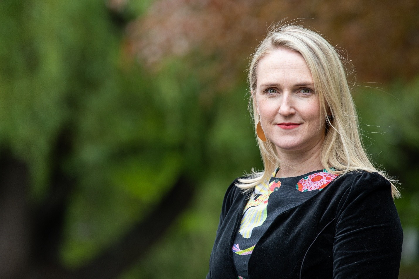
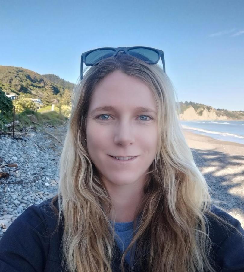
The initiative is led by UC coastal geomorphologist Dr Sarah McSweeney from the School of Earth and Environment, who wanted to address longstanding gaps in marine monitoring and deliver critical information to support coastal management and decision-making across Aotearoa New Zealand. Developed through partnerships with regional councils, ports, and research organisations, the network demonstrates the value of coordinated investment in shared environmental infrastructure that benefits multiple sectors and communities.
Enabling evidence-based coastal management
Councils and government agencies are already using the data to improve planning decisions thereby strengthening coastal resilience. Near real-time storm and wave information helps identify hazardous conditions, while the growing long-term dataset supports improved understanding of changing coastal environments and future adaptation requirements.
Christchurch City Council and Environment Canterbury use the information to guide coastal monitoring programmes, assess erosion risks, and better understand shoreline responses to storm events. Earth Sciences New Zealand uses the data to improve wave models and forecasting capability.
Delivering public benefit through research
Beyond its operational value, the network is enabling new research into coastal processes, sediment transport, river-mouth dynamics, and ocean-atmosphere interactions, while developing Aotearoa New Zealand's future environmental science workforce through postgraduate research and field training.
Waves drive coastal erosion and sediment transport. By linking storm events directly to shoreline change, we can improve how we manage and protect our coastlines.– Dr Sarah McSweeney
As climate-related pressures on coastal communities increase, the South Island Waves buoy network demonstrates how university-led research can deliver practical tools, trusted data, and collaborative solutions that inform policy, strengthen resilience, and support better outcomes for communities across Aotearoa New Zealand.
Talk to Dr Sarah McSweeney about how real-time marine data is improving coastal hazard management, climate adaptation planning, storm preparedness, and the resilience of Aotearoa New Zealand's coastal communities.
Last updated: September 2026
Related Topics
Sustainable Development Goals (SDGs)
Contact

We gratefully acknowledge support from Environment Canterbury.
Read other showcases
Take a look at our showcases to see UC’s research expertise in practice.